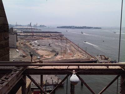
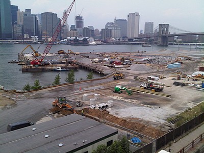
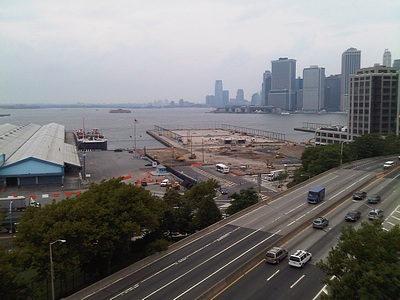
Since your correspondent is leaving town for a few days, here’s an early report for this week.
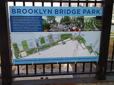
The Brooklyn Bridge Park Development Corporation has posted this sign at the Montague Street entrance to the Promenade, displaying a map of the Park as planned. The BBPDC is hosting tours of the construction site every Tuesday evening in August. Details, and an address to RSVP, are available here.
Comparative photos follow the jump.
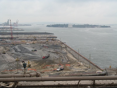
Thursday, July 23, 2009. Hmmm … what’s that circle at the northwest corner of Pier 1?
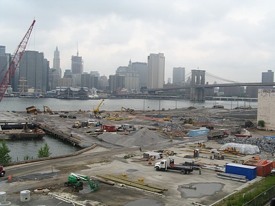
Thursday, July 23, 2009. The south end of Pier 1 remains a hive of activity. Thanks to the BBPDC website, I now know that what I’ve been calling the Grand Canyon is slated to become a salt marsh. Also, the highest elevation of the mound being created from fill on Pier 1 will be twenty feet above the pier deck.
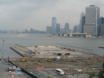
Thursday, July 23, 2009. From statements made by officials at yesterday’s ceremony announcing construction of a ferry dock at Pier 6, it appears that, in addition to ferry service to Governors Island, this will also be a stop for New York Water Taxi’s service to various locations.
