As rain began falling steadily early Monday, winds are slowing picking up, reaching around 27 mph by 8 a.m. Temps: 54 degrees, remaining steady throughout the day. The storm is currently 265 miles southeast of Atlantic City, and 310 miles south-southeast of New York City. Maximum sustained winds are predicted to reach 85 mph, according to the National Weather Service. A northwest turn is expected later this morning, followed by a move west-northwest tonight. See interactive storm map here.
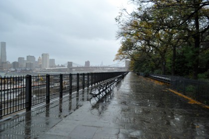
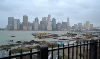
A quick trip to the Brooklyn Heights Promenade post-dawn revealed plenty of leaves collecting—a good thing, since that means trees have less weight to carry amid gale-force winds. “It’s living up to all the hype,” 1010 WINS reported after 8 a.m. “The Hudson River looks angry.” More pics below. (CT)
Check out MTA’s Flickr page for some eerie images of empty subway stations around NYC… Sandy vs. Irene here.


Comments are closed.